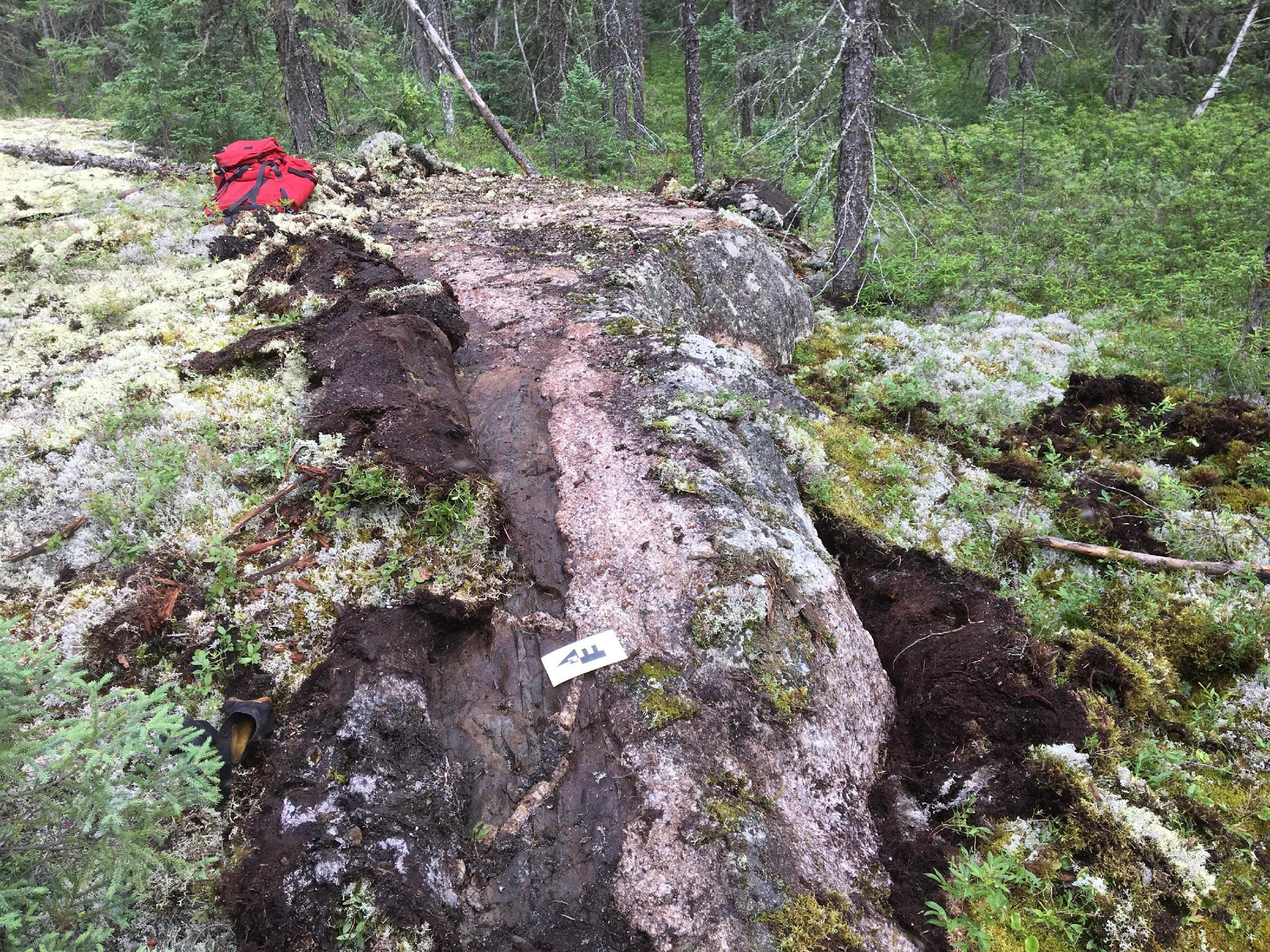
The Ear Falls Spodumene Project encompasses 3,252 hectares near Ear Falls, Ontario. The spodumene-bearing pegmatite system — the Wenasaga Spodumene Zone — was discovered in 2023 and has been traced for over 1.5 kilometres along strike, within a 13 km long exploration corridor. Eight highly fractionated targets have been identified for follow-up exploration.
| Announced | Interval (m) | Li₂O % | Zone |
|---|---|---|---|
| Jan 26, 2024 | 3.84 | 2.30 | Wider Pegmatites Zone |
| Jan 26, 2024 | 36.25 | 0.46 | Broader mineralized envelope |
The town of Ear Falls (population 1,100) lies less than a 10-minute drive from the southern property boundary — 70 km south of Red Lake and 145 km north of Dryden. The property benefits from highway access connecting regional cities, an established logging-road network, power lines along the main highway, local labour availability and equipment facilities.
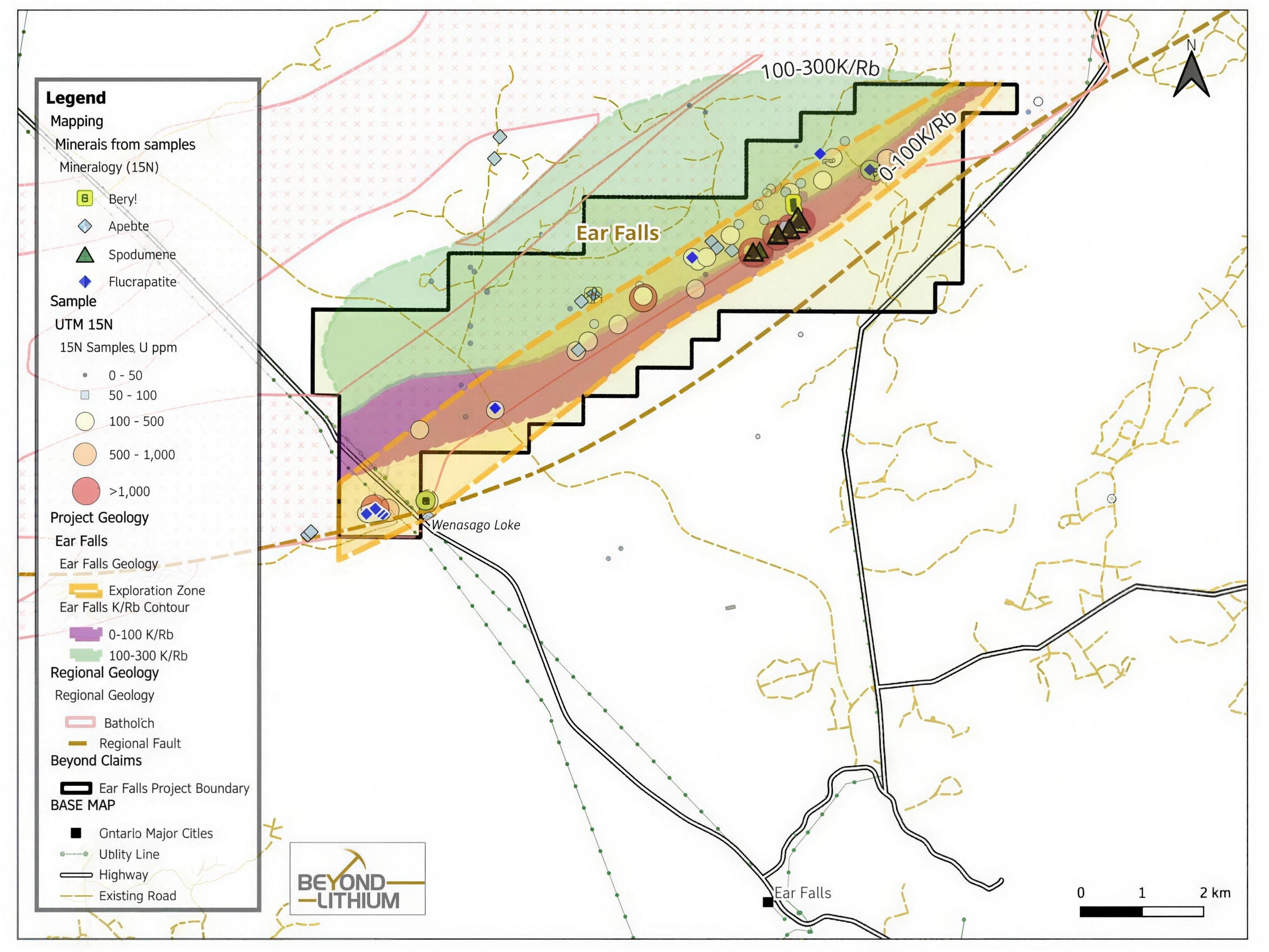
The property sits in the English River Subprovince along a regional splay fault structure branched off the subprovince boundary. The northwestern portion is hosted in granite of the Wenasaga Lake Batholith; the southeastern portion in metasediment. The spodumene-bearing pegmatites and the Sandy Creek Beryl occurrence align with the granite–metasediment contact.
XRD analysis confirms the main mineralogy is quartz, feldspar (albite, microcline), muscovite and spodumene, with accessory minerals (under 2%) including chlorite, beryl, fluorapatite and biotite. TIMA studies show over 96% spodumene liberation — highly favourable for downstream processing.
Only ~10% of the 13 km exploration corridor has been explored to date. Geological mapping and geochemical profiling define the corridor using lithium and cesium mineralization trends; testhole programs demonstrated pervasive lithium and cesium alteration halos in wall rock, and biogeochemical surveys have proven capable of detecting buried mineralization.
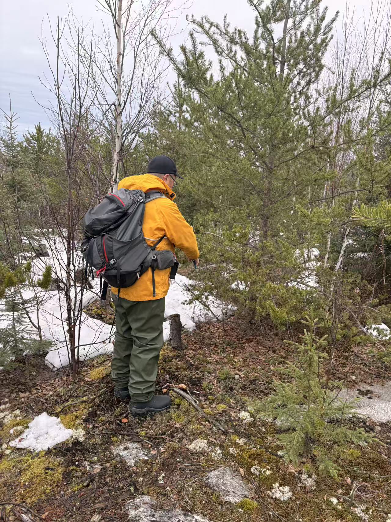
Building on the biogeochemical survey that first outlined the Wenasaga North Zone, the 2026 program comprises 552 biogeochemical (spruce tree-tip) samples collected along 29 grid lines totalling 14 kilometres, covering the northeastern and southwestern portions of the project. All samples have been delivered to the laboratory and are pending assay results.
The survey is designed to expand coverage and evaluate the potential for buried lithium–cesium mineralization along the 13-kilometre structural corridor; an expansion will be evaluated once first-phase assays are received. Read the full update →
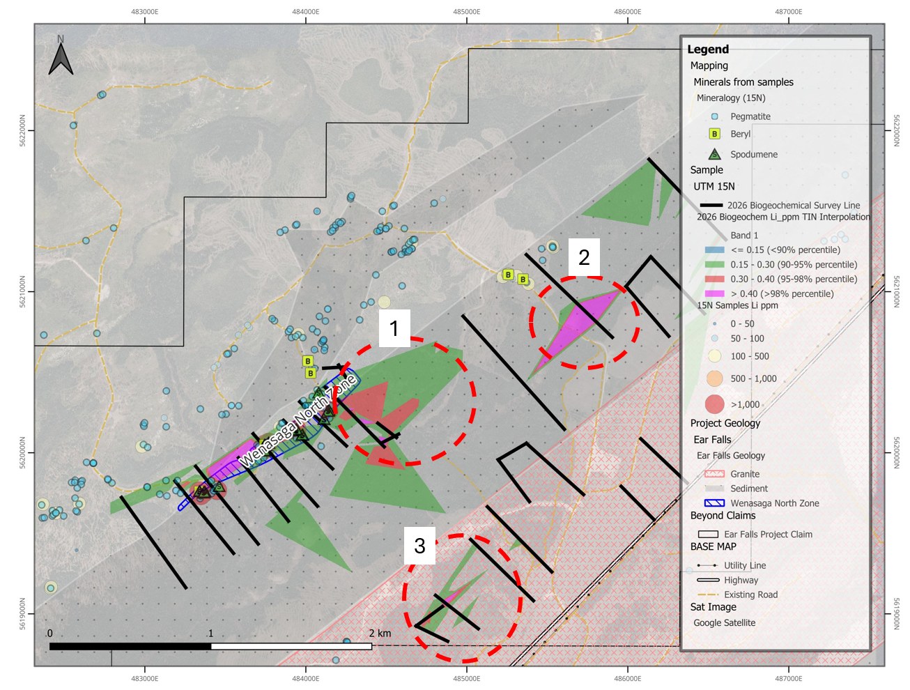
Lithium assays from the 552 biogeochemical samples collected during the July field program successfully outlined and extended the footprint of the spodumene-bearing Wenasaga North Zone and delineated three additional target areas with potential for buried lithium mineralization. These targets appear to be hosted within both the granite and the adjacent sedimentary units along the southern contact, highlighting multiple prospective structural and lithological settings for follow-up work.
Read the full September 8 release →
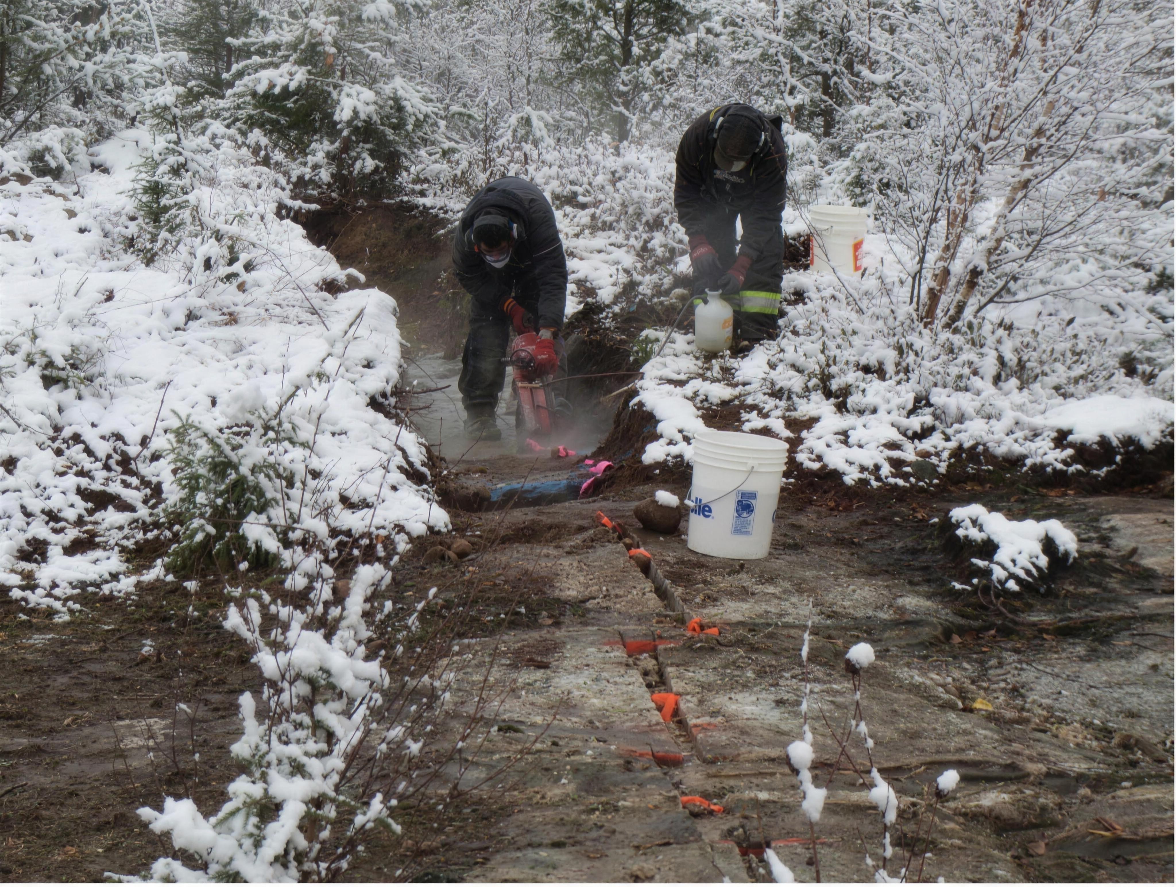
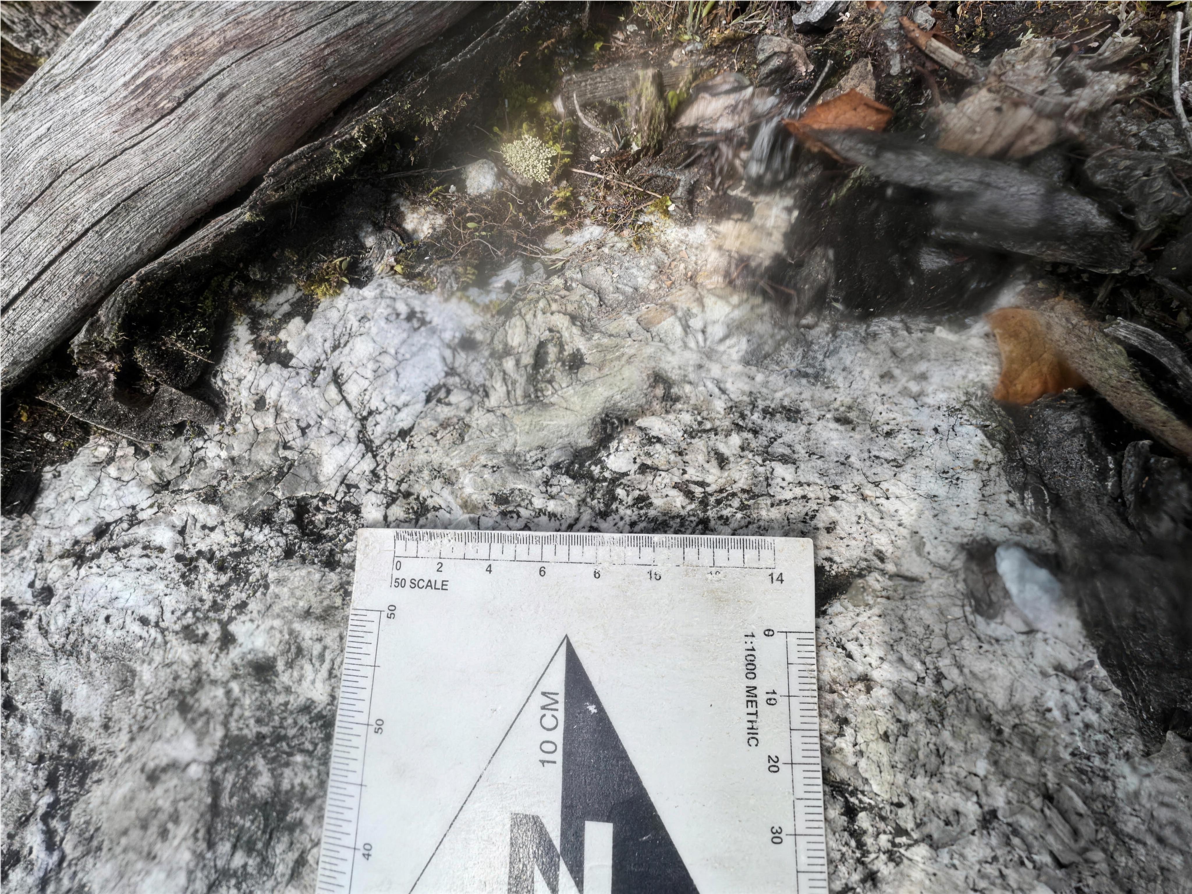
All photography and figures sourced from beyondminerals.ca.
Assay results land in subscriber inboxes the moment they cross the wire.