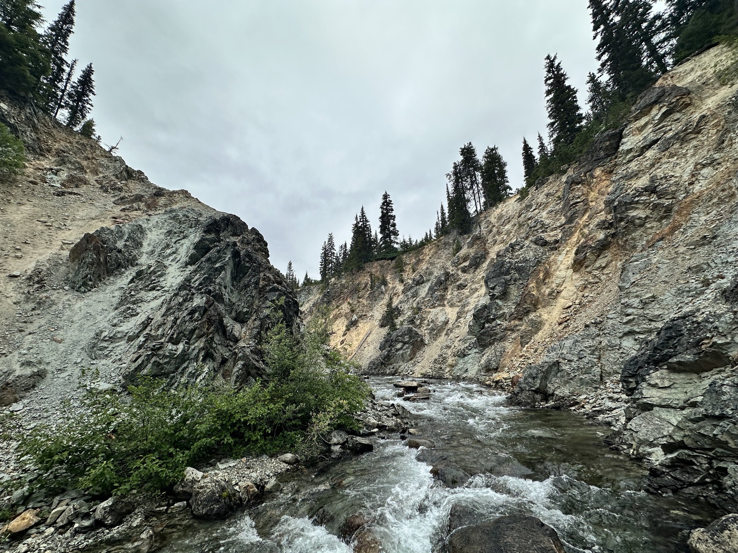
The Owl Creek Project covers 3,522 hectares — including the expansion claim staked in March 2026 — with excellent logging-road access, located approximately 30 minutes north of Pemberton, British Columbia. The property is held 100% with no encumbrances and has seen comprehensive surface exploration: mapping, soil sampling, a regional airborne magnetic survey and historical diamond drilling, including ten diamond drill holes at Zone C in 1971 (Seraphim 1971).
| Zone | Grab samples (Cu) | Notes |
|---|---|---|
| Zone A | 0.15% – 1.99% | Highest-grade samples to date |
| Zone B | 0.12% – 0.80% | Copper-bearing, open |
| Zone C | 0.23% – 0.47% | Extensive malachite on surface (July 2026 site visit); ~1,000 m strike × 300 m width, open in all directions, connects with Zone D; drilled 1971 (10 holes) |
| Zone D | — | Diorite identified from soil & geophysical surveys; connects with Zone C |
| Zone E | — | Expansion claim staked March 2026 — mineralized diorite and volcanic outcrops mapped historically (Rayner & Witherly 1975) |
Mapping and sampling completed only in selected areas — significant project-wide coverage gaps remain.
Owl Creek lies within the Cascade Magmatic Arc, a continental-margin arc system extending more than 1,200 km from northern California into southwestern British Columbia (Hildreth, 2007). The Cascade Arc hosts numerous Miocene-aged intrusive zones associated with porphyry-style copper-molybdenum and copper-gold mineralization, making it regionally significant for porphyry exploration. Regional benchmarks include:
A total of eighty grab samples were collected across Zones A and C. Assay results from this initial program have confirmed the presence of a Cu-Au-Mo-Ag porphyry mineralization system at the Owl Creek Project.
*Awaiting overlimit copper assay. Grab samples are selective by nature and are not necessarily representative of mineralization on the property.
Read the full October 1 release →
Following a successful July 2026 technical site visit that confirmed extensive malachite mineralization at Zone C, Beyond Minerals' 2026 field program is refining the geological model and delineating potential drill targets. Progress reported September 8, 2026:
Read the full September 8 release → · July 23 release →
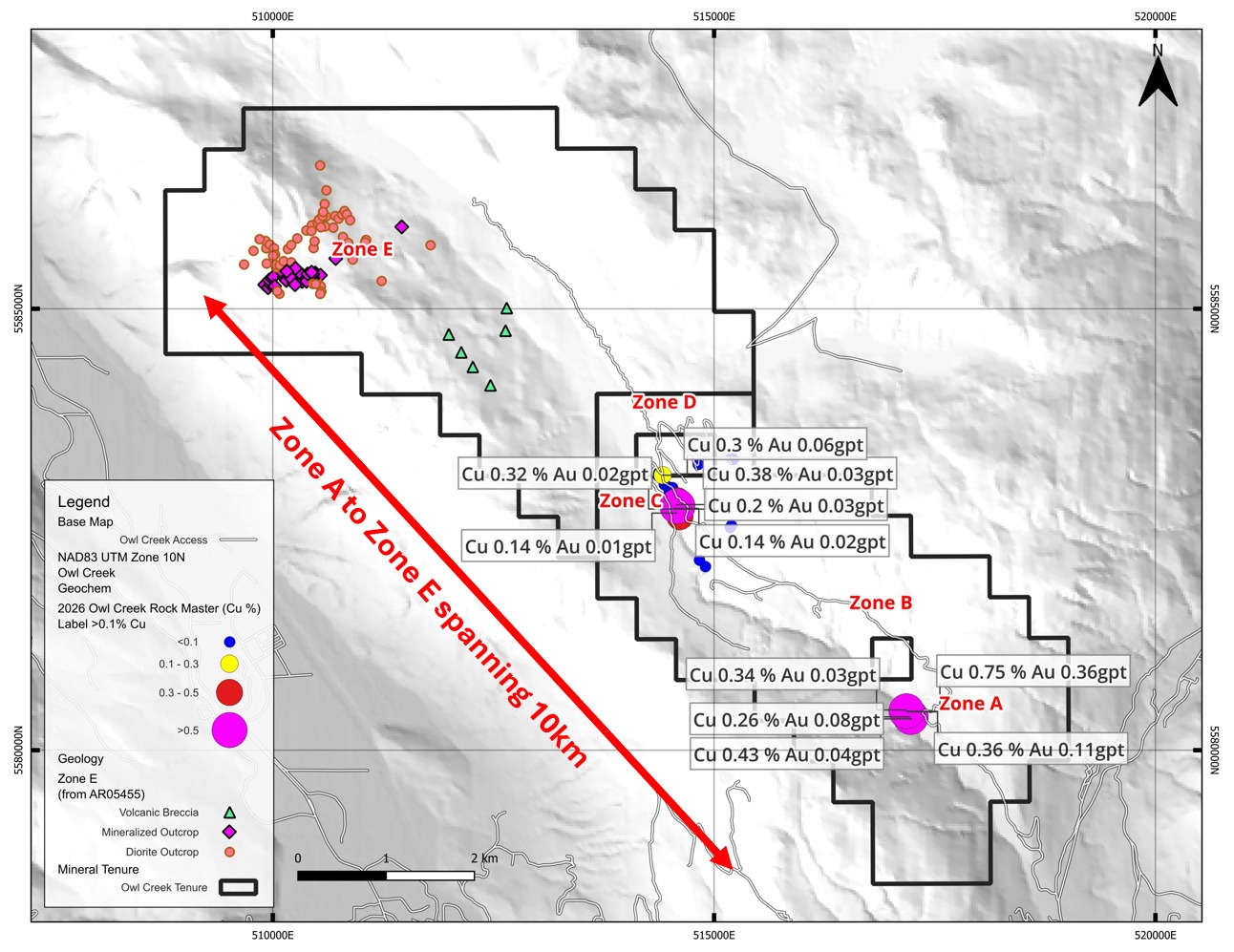
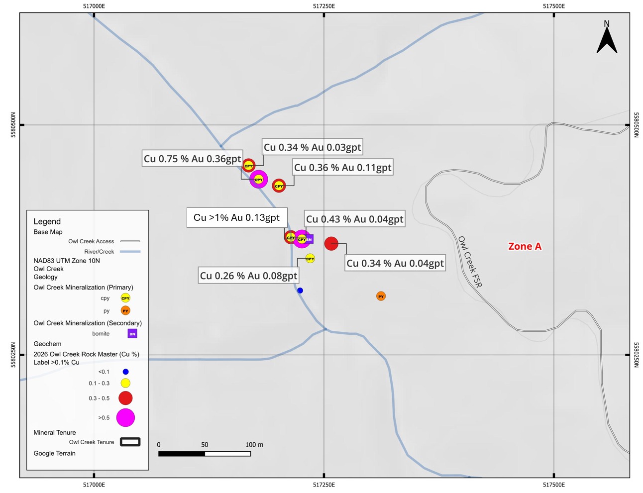
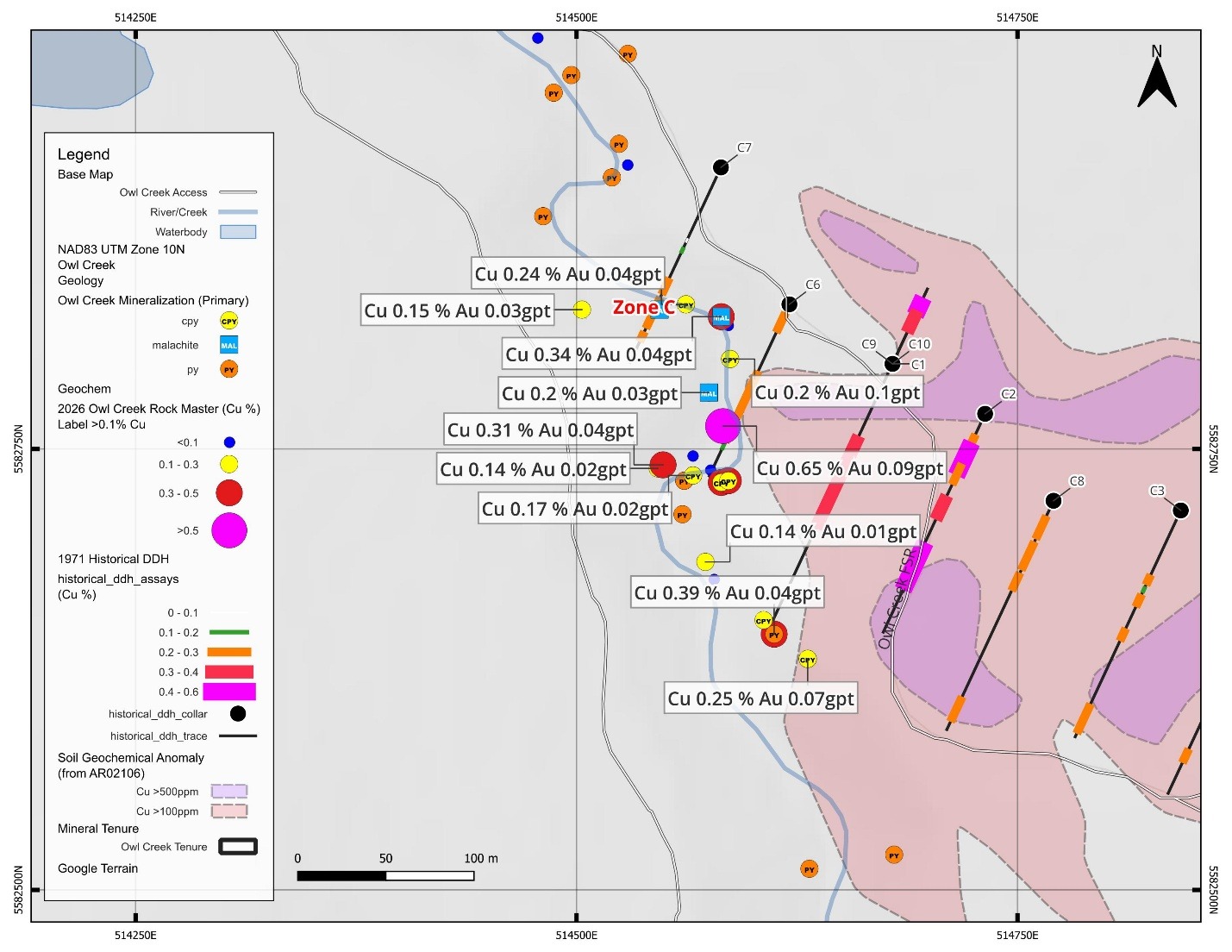
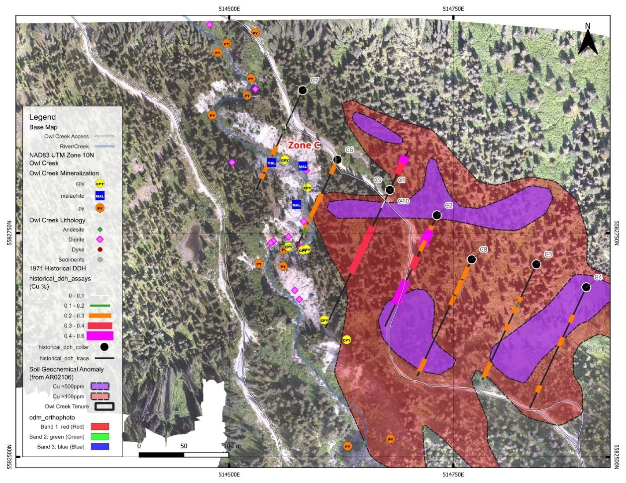
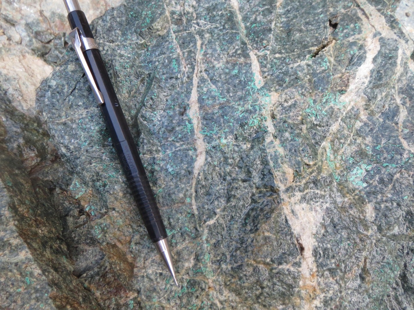
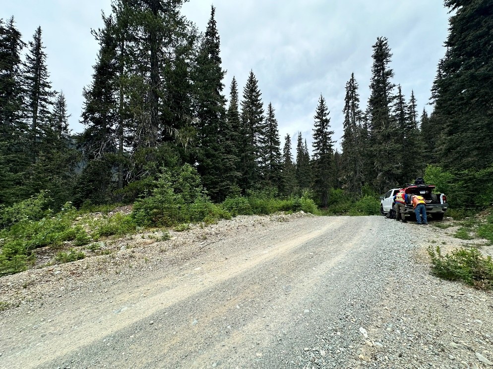
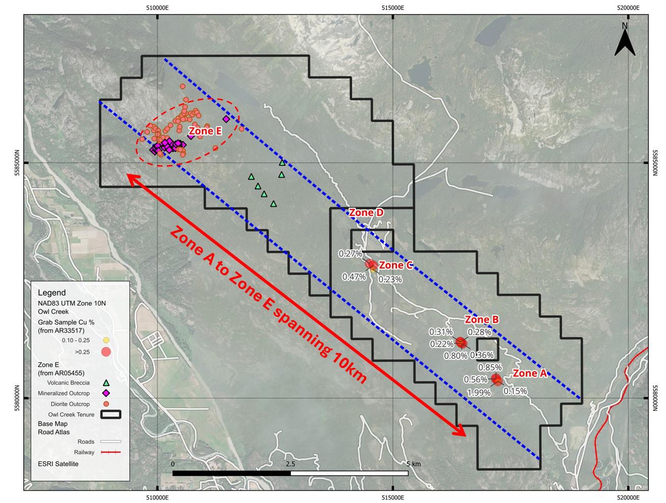
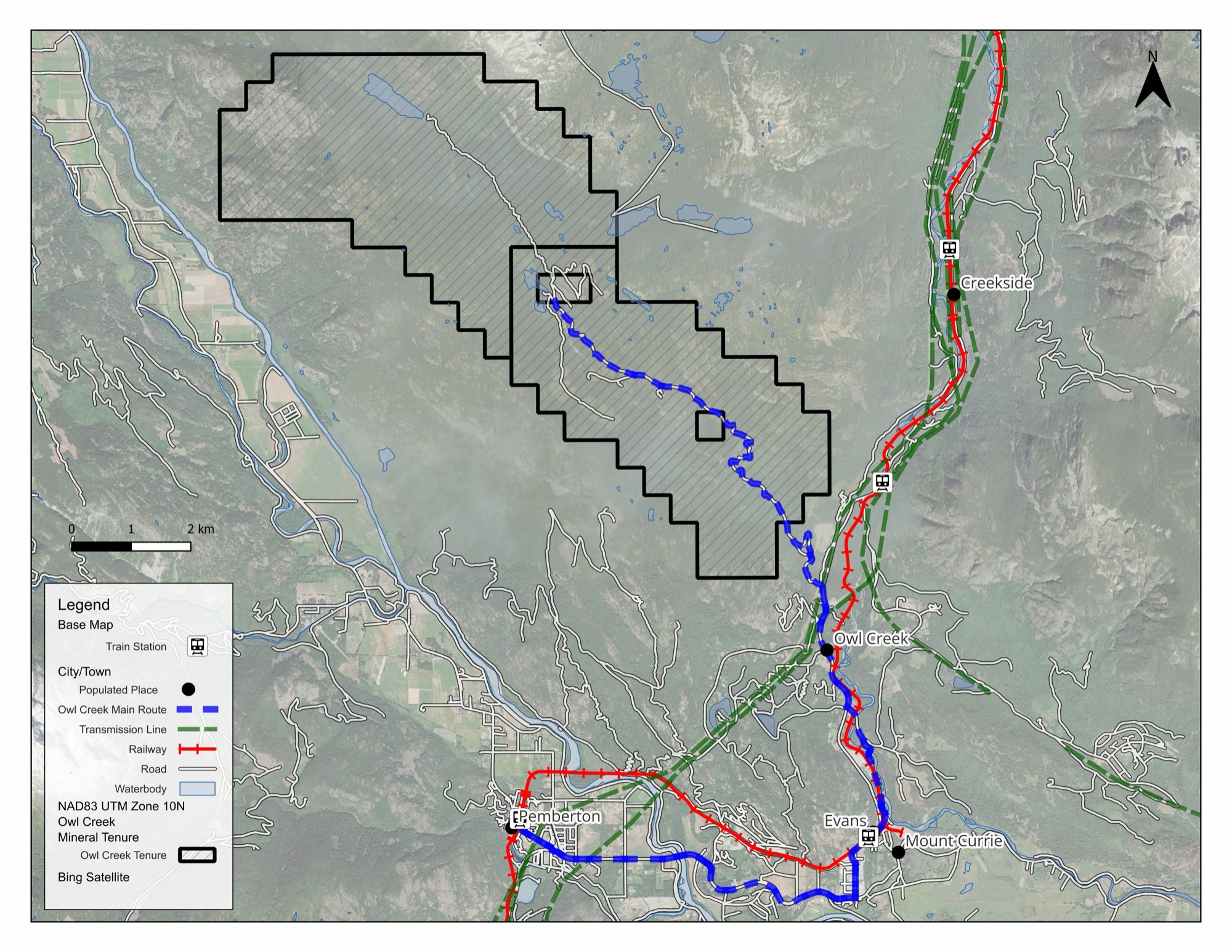
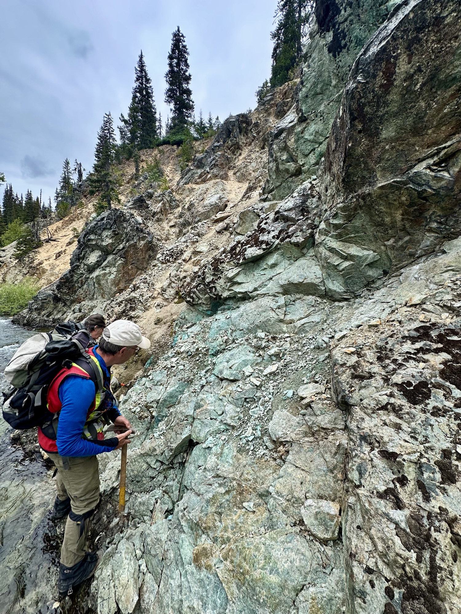
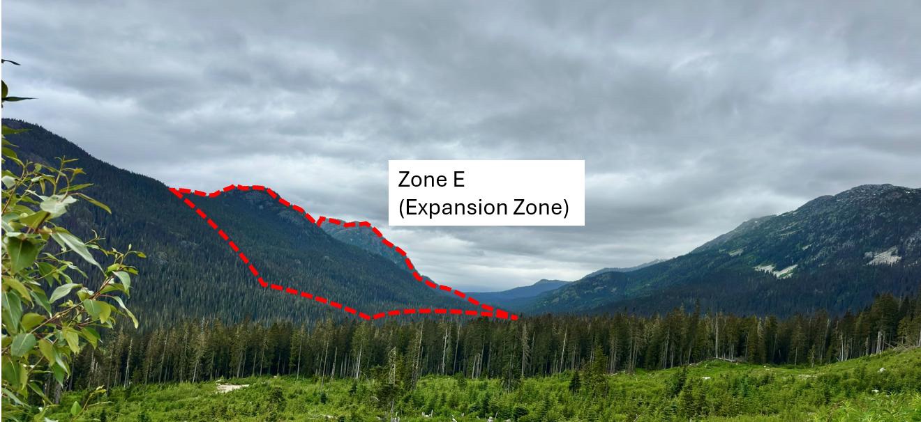
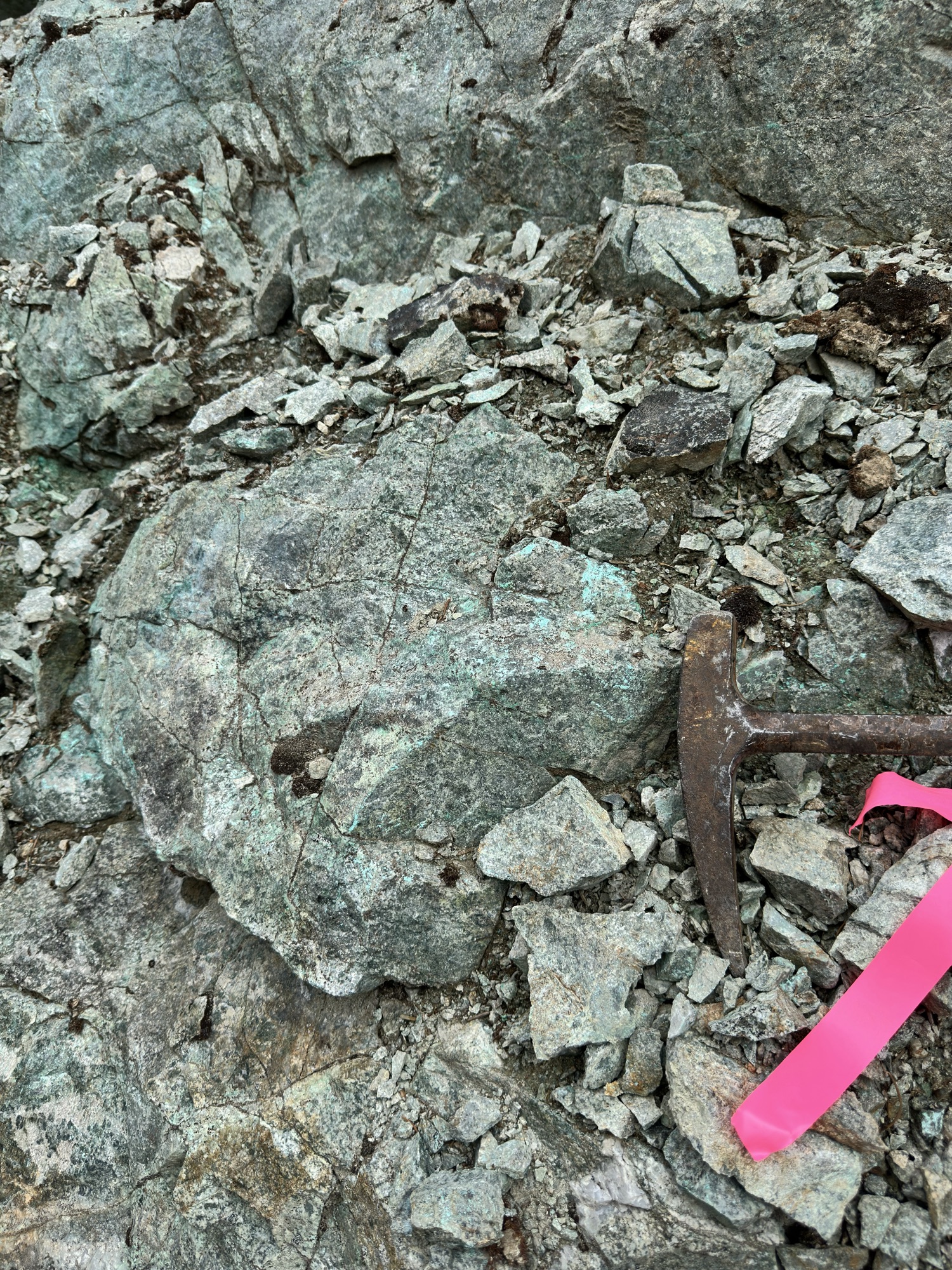
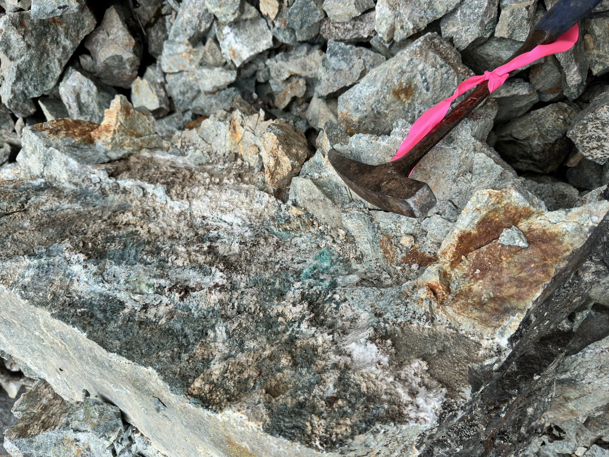
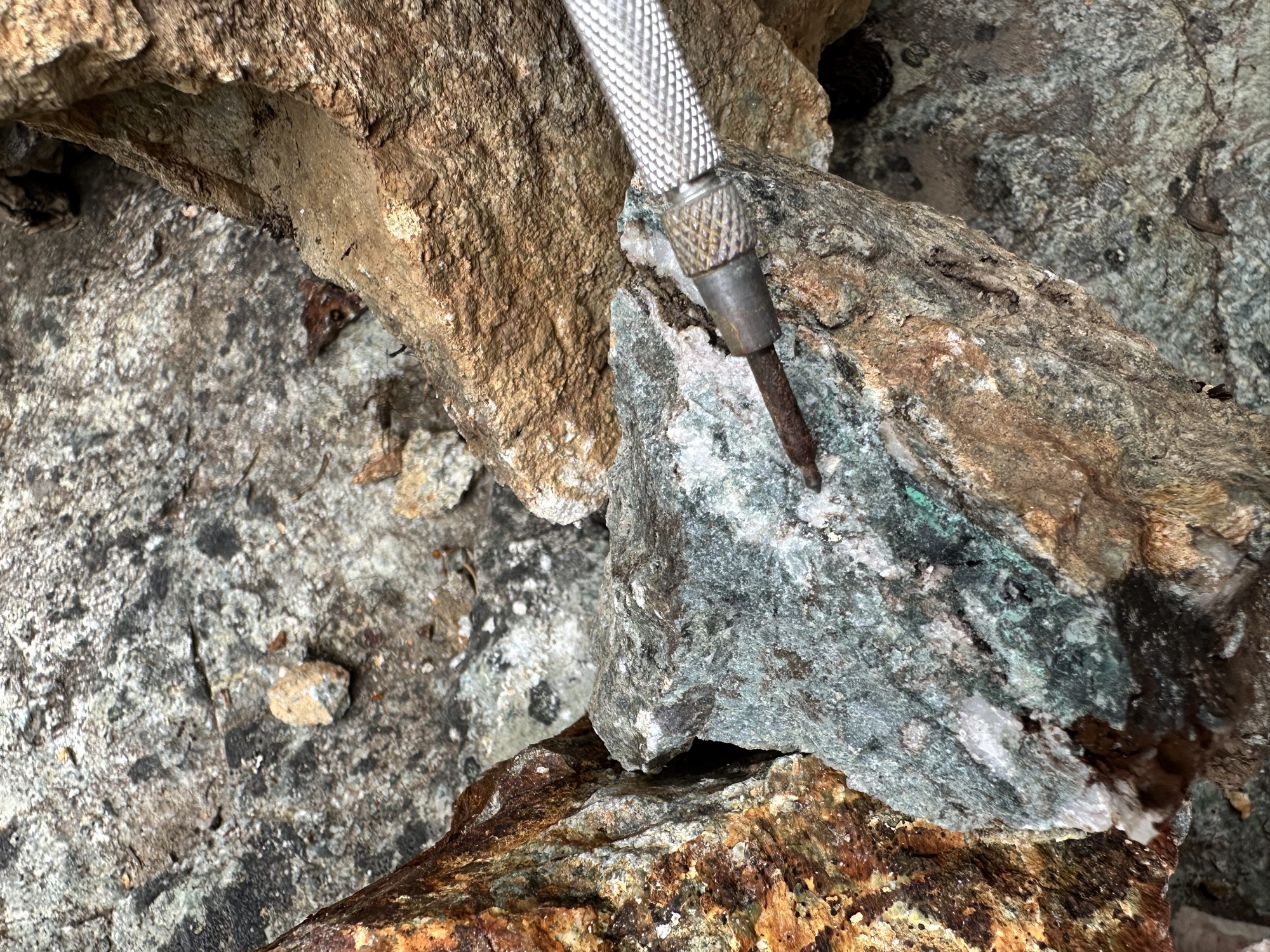
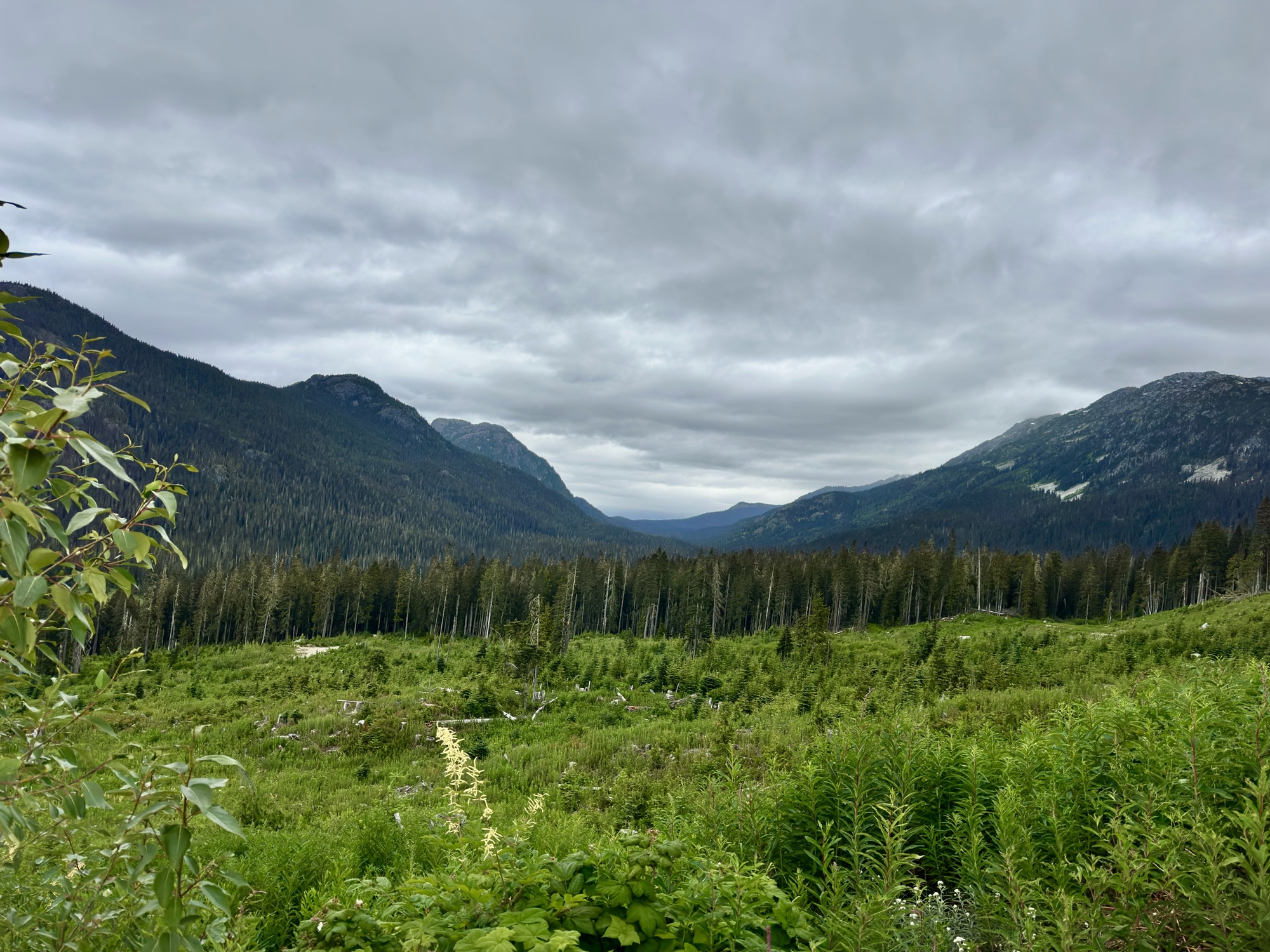
Maps and field photos from the July 23, September 8 and October 1, 2026 news releases and the 2026 field program.
Three 100%-owned projects across Ontario and British Columbia.